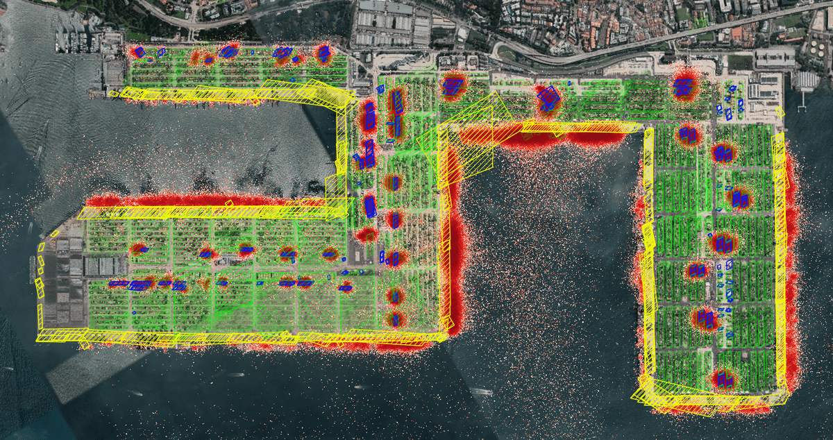
Maritime terminal geofencing solutions
Greensee's maritime geofencing optimizes vessel and container tracking in ports, enhancing efficiency and reducing delays with real-time insights.
Learn how to ship your startup in days, not weeks. And get the latest updates about the boilerplate

Greensee's maritime geofencing optimizes vessel and container tracking in ports, enhancing efficiency and reducing delays with real-time insights.

TRACE by Greensee.ai offers real-time routing insights to optimize logistics, cut CO2 emissions, compare transport modes, and reduce costs using GEOCE's geospatial data.

In an increasingly connected world, geolocation is essential for various applications, including logistics, navigation, and maritime resource monitoring. The GEOCE API offers an innovative solution by allowing users to accurately determine whether a given point is on land or at sea. This functionality is crucial for optimizing maritime operations and ensuring the safety of goods and individuals.

Route deviation alerts enhance supply chain efficiency by notifying managers of asset deviations, enabling real-time responses to mitigate delays and optimize routing.
Browse articles by category